Regions
The Vietnam Origin Atlas
Products come from places. Explore the Vietnamese provinces tied by evidence to the products documented on VietnameseOrigins.
Every marked origin is backed by a source: 11 provinces, 3 products, 3 full region guides.
Explore the atlas
Origin atlas
Select a province
- Sourced origins
- 11
- Documented products
- 3
- Full region guides
- 3
Choose a marked province on the map, or “Show on map” in the province index below, to see what grows there and the evidence for it.
- Cinnamon7 provinces
- Star anise4 provinces
- Cashew1 province
- Stripes: more than one product
Province index
Yên Bái
Văn Yên and Trấn Yên are seed-source areas in national guidance; Văn Yên cinnamon has a geographical indication (2010).
Evidence: Ministry of Agriculture and Rural Development of Vietnam, 2022 · Nhân Dân
Today: Merged into Lào Cai province on 1 July 2025. Geographical indications and most sources still use the name Yên Bái.
Lào Cai
Bắc Hà, Văn Bàn, Bảo Yên and Bảo Thắng are seed-source areas in national guidance.
Evidence: Ministry of Agriculture and Rural Development of Vietnam, 2022
Today: Since 1 July 2025 the province also includes former Yên Bái.
Lạng Sơn
Vietnam’s largest star anise province; Lạng Sơn star anise has been a protected geographical indication since 2007.
Evidence: Tạp chí Khoa học và Công nghệ Lâm nghiệp, 2021 · Vietnam Agriculture, 2024 · Ministry of Industry and Trade of Vietnam, 2022
Cao Bằng
One of four star anise provinces; about 4,500 ha (DTiNews, 2026).
Evidence: Tạp chí Khoa học và Công nghệ Lâm nghiệp, 2021 · DTiNews, 2026
Bắc Kạn
One of four star anise provinces; area not published in our sources.
Today: Merged into Thái Nguyên province on 1 July 2025.
Quảng Ninh
Đầm Hà, Hải Hà and Tiên Yên are cinnamon seed-source areas in national guidance.
Evidence: Ministry of Agriculture and Rural Development of Vietnam, 2022
About 8,600 ha of star anise (DTiNews, 2026).
Evidence: Tạp chí Khoa học và Công nghệ Lâm nghiệp, 2021 · DTiNews, 2026
Thanh Hoá
Thường Xuân is a seed-source area in national guidance. Đỗ Tất Lợi records the traditional quế Thanh along the Trường Sơn range from Thanh Hoá southward.
Evidence: Ministry of Agriculture and Rural Development of Vietnam, 2022 · Đỗ Tất Lợi
Nghệ An
Quế Phong and Quỳ Châu are seed-source areas in national guidance.
Evidence: Ministry of Agriculture and Rural Development of Vietnam, 2022
Quảng Nam
Nam Trà My and Bắc Trà My are seed-source areas in national guidance; Trà My cinnamon has a geographical indication (October 2011).
Evidence: Ministry of Agriculture and Rural Development of Vietnam, 2022 · Ministry of Industry and Trade of Vietnam
Today: Merged into Đà Nẵng city on 1 July 2025. The geographical indication keeps the name Trà My.
Quảng Ngãi
Trà Bồng is a seed-source area in national guidance; Trà Bồng cinnamon has a geographical indication (23 November 2020).
Evidence: Ministry of Agriculture and Rural Development of Vietnam, 2022 · Tạp chí Công Thương
Today: Since 1 July 2025 the province also includes former Kon Tum.
Bình Phước
148,239 ha of cashew and 155,053 t harvested in 2024 (preliminary).
Evidence: Chi cục Thống kê tỉnh Bình Phước, 2025
Today: Merged into Đồng Nai province on 1 July 2025. Sources and the geographical indication use the name Bình Phước.
Region guides
Places with a full guide
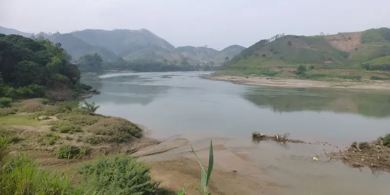
User:Vmenkov · CC BY-SA 3.0 Yên Bái
Cinnamon
A northern mountain province whose Văn Yên district gave its name to a protected cinnamon.
Merged into Lào Cai province on 1 July 2025. Geographical indications and most sources still use the name Yên Bái.
Read the Yên Bái origin guide →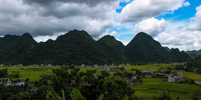
Hứa Chí Thân · CC BY-SA 4.0 Lạng Sơn
Star anise
The border province where most of Vietnam’s star anise grows.
Read the Lạng Sơn origin guide →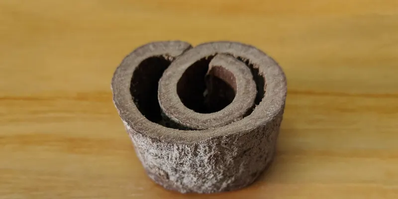
Phó Nháy · CC BY-SA 4.0 Quảng Nam
Cinnamon
Central province whose Trà My districts are a protected cinnamon origin.
Merged into Đà Nẵng city on 1 July 2025. The geographical indication keeps the name Trà My.
Read the Quảng Nam origin guide →
Why origin matters
The same product can differ from one place to another. Climate, elevation and soil vary across Vietnam’s provinces, and so can the planting material growers use and the way they harvest and process the crop. Our sources do not measure those effects for every origin, so this atlas makes a narrower claim.
It records where evidence ties a product to a province: a seed-source area named in national guidance, a geographical indication, or official production figures. Each link names its source. To go further, explore Vietnamese cinnamon, explore Vietnamese star anise or explore Vietnamese cashew, see how each product is processed, or read how we weigh sources.
By area
Origins from north to south
- North6 origins
- Centre4 origins
- Thanh Hoá(cinnamon)
- Nghệ An(cinnamon)
- Quảng Nam(cinnamon)
- Quảng Ngãi(cinnamon)
- South1 origin
- Bình Phước(cashew)
Image credits
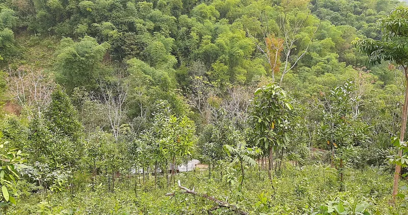
- “Rừng quế, lát, luồng tại bản Phe” by Hà Nghĩa VN, via Wikimedia Commons, licensed CC BY-SA 4.0. Cropped (a person at the right edge removed) and resized; converted to WebP.
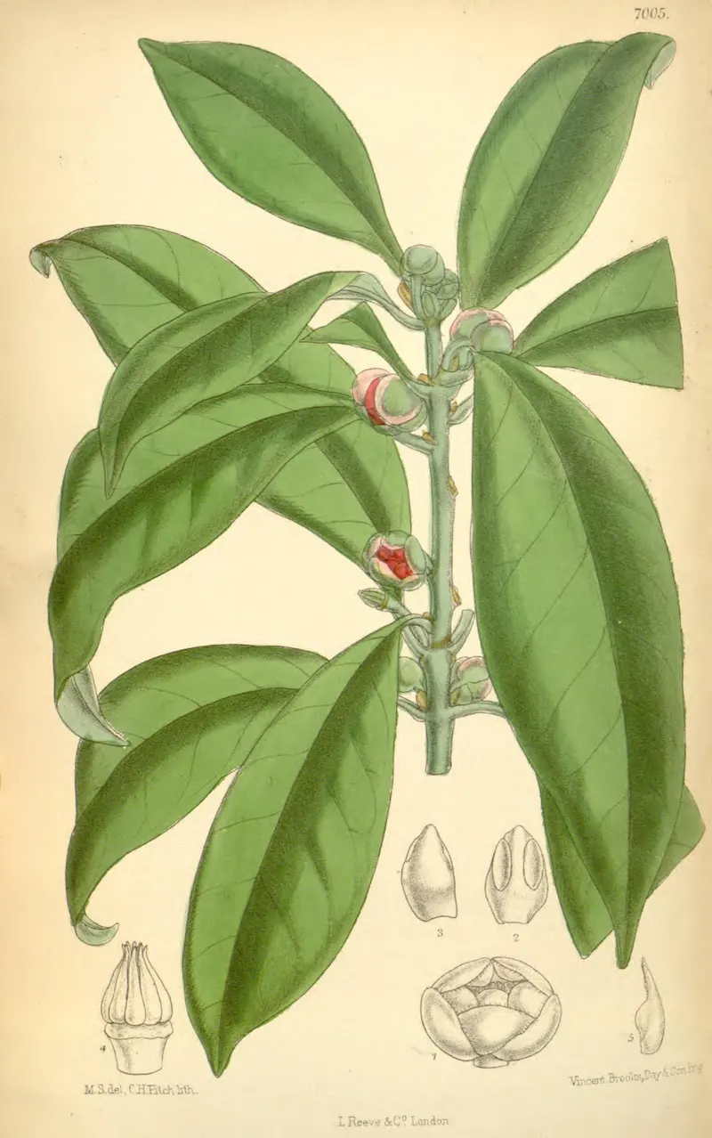
- “Curtis's botanical magazine. (IA mobot31753002721899).pdf, page 101” by M.S. (Matilda Smith), del.; C.H. Fitch, lith.; Curtis’s Botanical Magazine vol. 114, L. Reeve & Co., London, via Wikimedia Commons, licensed Public domain. Page 101 of the scanned volume extracted; resized; converted to WebP.
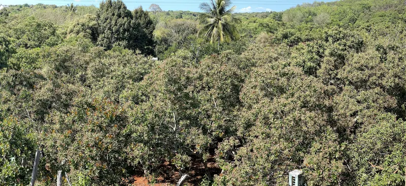
- “Vườn Điều trổ bông ở Bình Phước” by Windrain, via Wikimedia Commons, licensed CC BY-SA 4.0. Resized; converted to WebP.
- “Van Yen District - Hwy DT163 - P1380765” by User:Vmenkov, via Wikimedia Commons, licensed CC BY-SA 3.0. Cropped and resized; converted to WebP.
- “Thị trấn Bình Gia” by Hứa Chí Thân, via Wikimedia Commons, licensed CC BY-SA 4.0. Cropped and resized; converted to WebP.
- “Vietnam cinnamon tree bark” by Phó Nháy, via Wikimedia Commons, licensed CC BY-SA 4.0. Cropped (protractor removed) and resized; converted to WebP.
- “Scenery around Bac Ha - Lao Cai Province - Vietnam - 01 (48203332771)” by Adam Jones from Kelowna, BC, Canada, via Wikimedia Commons, licensed CC BY-SA 2.0. Cropped and resized; converted to WebP.
- “Trùng Khánh District, Cao Bang, Vietnam - panoramio” by kimjongdae, via Wikimedia Commons, licensed CC BY 3.0. Cropped and resized; converted to WebP.
- “Scenery at Ba Be Lake - Ba Be National Park - Vietnam - 01 (48102368637)” by Adam Jones from Kelowna, BC, Canada, via Wikimedia Commons, licensed CC BY-SA 2.0. Cropped and resized; converted to WebP.
- “Tien Yen River” by Phó Nháy, via Wikimedia Commons, licensed Public domain. Cropped and resized; converted to WebP.
- “Phong cảnh nông thôn ở Bình Chuẩn, Con Cuông, Nghệ An” by KoheiU, via Wikimedia Commons, licensed CC0. Cropped and resized; converted to WebP.
- “Sông Trà Bồng, đoạn qua Bình Sơn, Quảng Ngãi” by Nguyễn Đông Sơn at Vietnamese Wikipedia, via Wikimedia Commons, licensed CC BY-SA 3.0. Cropped and resized; converted to WebP.


.jpg)

.jpg)


